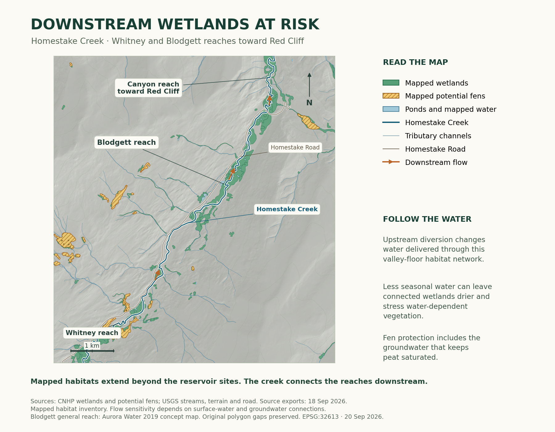
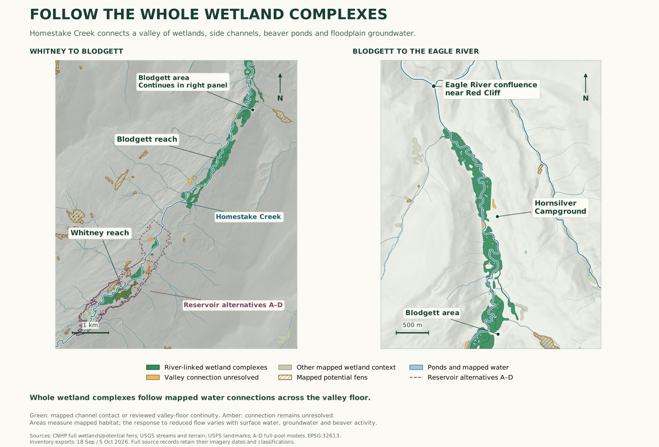
The map merges complete September 18 exports of the CNHP Wetlands, Fen Mapping and USGS 3DHP services with October 5 lower-creek exports. Shared source IDs were deduplicated after checking that their geometries were identical. The Whitney-to-Blodgett panel covers EPSG:32613 eastings 377,000–383,700 m and northings 4,363,500–4,371,500 m. The Blodgett-to-confluence panel covers eastings 380,650–384,070 m and northings 4,369,900–4,374,380 m. Source counts use the union of those display windows.
ESRI rings were reconstructed with symmetric difference and invalid polygons repaired. Full source polygon geometries are retained in the downloadable GeoJSON; the panels clip display only. USGS stream lines, terrain and road data supply geographic context. The two panels overlap and use separate scale bars. The A–D outlines use the reservoir solver and 10 m terrain inputs.
The current whole-complex calculation starts at the earliest existing A–D dam-axis crossing on Homestake Creek and ends at the Eagle River confluence. It groups complete mapped wetland and pond polygons, follows their mapped creek connections, and records terrain-supported valley-floor continuity. Continuous river-network polygons supply context without automatically extending the linkage classification uphill along tributaries. Individual terrain reviews stop two such routes at existing feature boundaries and add valley-floor complexes across inventory gaps. No distance, elevation or slope threshold determines inclusion. Source classifications and polygon identifiers remain attached to every feature. Areas are dissolved in EPSG:32613 before division by 4,046.8564224 square metres per acre.