Inspect the record behind a question: what Whitney would change, how seasonal water sustains habitat, or which standards govern the decision. Start with the Visual Guide, then use the library to follow a claim to its source.
116 linked records7 topicsSource index: November 2, 2026Page updated November 2, 2026
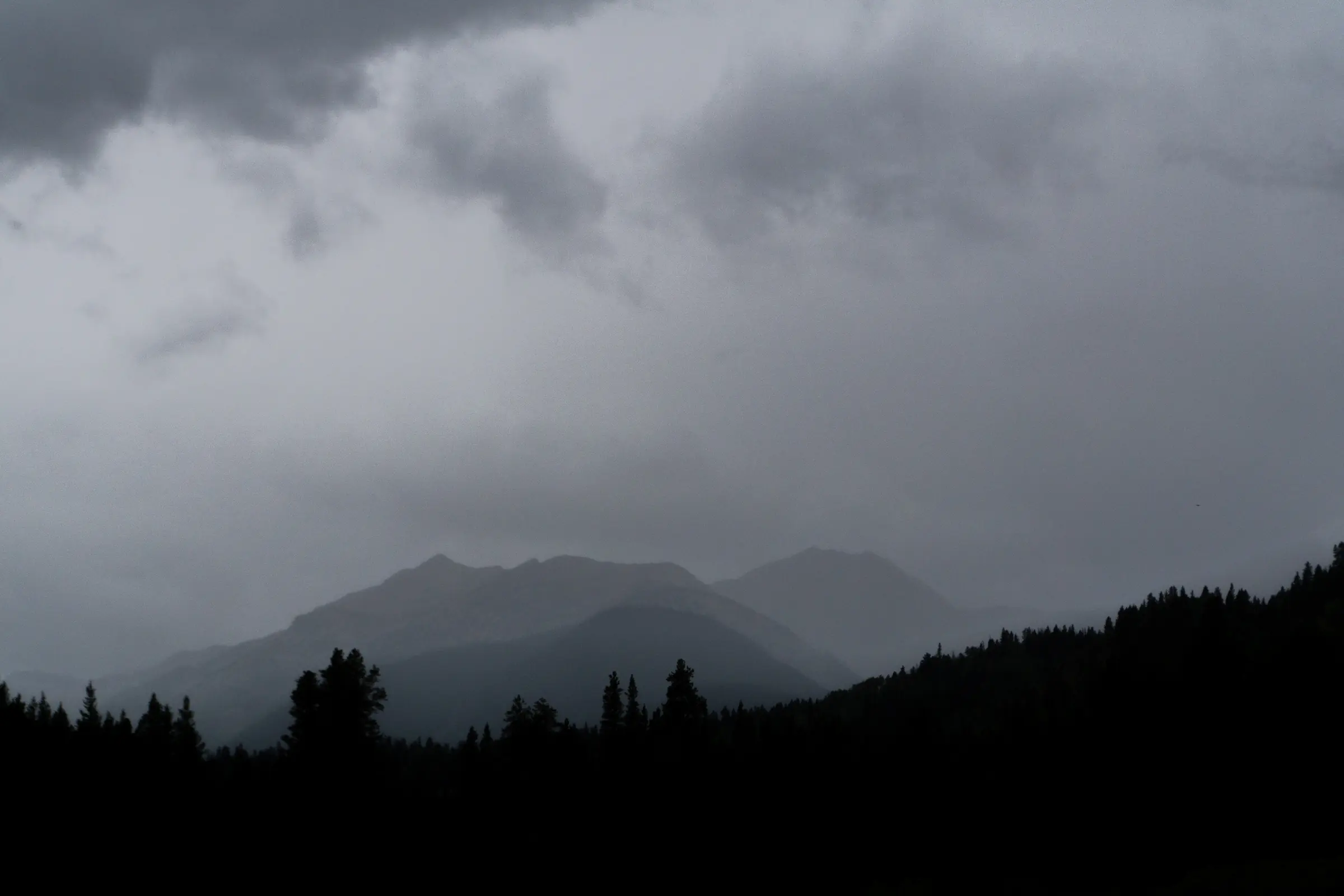
Storm over the broader Homestake area. Campaign photograph.
01 / Research library
Research for resistance
Use the public record.
Search the public record, or start with six documents and reports that explain the case.
116unique linked records
7connected topics
Full source index
Search the whole record.
Search articles, court decisions, scientific research, and public documents by topic.
Featured and New
Six records to understand now.
This compact briefing connects the Homestake precedent, the Whitney reservoir proposal and its fen impacts, the project's current status, local river livelihoods, and the Colorado River's physical limits. Every featured record also appears in the complete searchable index below. Read the economic evidence brief or download its PDF.
Commissioners approved the hearing text with revisions and tied effectiveness to passage of a separate resolution. The rules name fens and address groundwater and habitat downstream of a diversion. As of November 2, passage of the enacting resolution remained unverified.
U.S. District Court for the District of Nevada, ECF 35
The district that operates the Central Arizona Project asked to join the challenge to federal Colorado River operating decisions. The filing concerns management of the river that Homestake Creek feeds. An order deciding intervention had not been verified by November 2.
U.S. District Court for the District of Nevada, ECF 35-7
Attached to the motion, the proposed complaint challenges the federal operating guidelines and seeks declaratory and injunctive relief. Those are the district’s allegations and requests. The court has made no Whitney permit decision in these filings.
Aurora proposes requiring all industrial-site trees to be low-water and making curbside shrubs and ornamental grasses optional. Council advanced the proposal toward a future vote. Save Homestake welcomes this demand-reduction direction instead of Whitney.
CROA estimates $1,513,348 in direct expenditures and $3,874,172 in economic impact across the Upper and Lower Eagle in 2024. These describe existing annual rafting activity. The Glenwood segment is reported separately.
Eagle River Community Water Plan / Lotic Hydrological
The plan’s combined New Water Infrastructure scenario includes projected 2050 demand, potential MOU infrastructure and Bolts Lake redevelopment. Using historical hydrology, it models 85% fewer boatable days in dry years and 48% fewer in wet years through Minturn.
Eagle River Community Water Plan / Lotic Hydrological
Defines the demand and infrastructure scenarios behind the recreation and water-quality assessments. The modeled MOU objectives include 20,000 acre-feet of average annual East Slope yield and 10,000 acre-feet of firm dry-year West Slope yield.
CPW announced a full-day voluntary Eagle River fishing closure beginning July 17, 2026, from Lake Creek in Edwards to the Colorado River. Extremely low flows and high temperatures show how river conditions can limit usable fishing days.
Eagle River Community Water Plan / Lotic Hydrological
Under the new-infrastructure scenario, the mean May zinc-load reduction needed to reach the study threshold rises from 140 to 434 kg; the associated dilution gap rises from 496 to 1,530 acre-feet. These are relative aquatic-risk measures, with historical metal loading held fixed.
Connects river health, recreation and water management. Seasonal effects differ: releases can improve some upper-river late-summer conditions while runoff capture reduces whitewater flows. Gypsum does not show the same late-summer low-flow improvement.
Current monitoring overview, checked Sept. 19, 2026Primary / original report
Documents heavy-metal impairment of brown trout between Red Cliff and Gore Creek, absent native sculpin between Belden and Gore Creek, and few rainbow trout. Existing fishery stress makes the relationship between flows, dilution and local recreation especially important.
NASA documents a new Lake Powell record low after weak snowpack and unusual warmth. The satellite comparison connects headwater snow loss to shrinking stored water downstream.
USGS explains that Colorado River allocations used an unusually wet period and present-day flows may not supply all apportioned uses. Headwater snowpack and runoff set the physical limits.
A dated snapshot of life observed across Homestake Valley, including records that predate the organized 2022 BioBlitz. Explore the observations to see what people have found.
Reclamation reports that combined Powell and Mead storage reached its lowest level since before Powell began filling in 1963. The 2027–2028 guidelines set Lower Basin delivery reductions of 1.25 million acre-feet each year.
WildEarth Guardians and five conservation organizations
Primary legal filing in which six conservation organizations gave notice of alleged Endangered Species Act Section 7 violations related to the Whitney Creek Geotechnical Investigation special-use permit
Documents a 30,000 acre-foot call-reduction provision protecting possible future Homestake diversions and reports the cities' then-current development position
Explains the planning package of about 33,000 acre-feet: 20,000 for eastern users, 10,000 for local western users, and 3,000 of storage associated with Climax
An archive excerpt summarizing reporting that the 2010 agreement shifted planning away from new facilities inside Holy Cross Wilderness and toward a smaller lower Homestake Creek reservoir.
Aurora’s reported 36 percent decline in water use since the early 2000s, a separately reported 115 gallons per person per day, turf limits, reuse and its 2040 target
Current, checked Oct. 15, 2026Official city / proponent
Aurora reports Stage 1 drought, a 20 percent outdoor-use reduction target and spray-irrigation restrictions beginning October 1. The city page carries the current rules and dated reservoir totals.
Current, checked Sept. 11, 2026Official city / proponent
The Partners describe a 6,850–20,000 acre-foot reservoir alternative and potential conveyance from Peterson, Fall and Resolution creeks. The broader joint-use objective is 20,000 acre-feet of average annual new supply for the cities.
No sources match that search. Try a broader term or clear the topic filter.
Help strengthen the record
Know something we should investigate?
Send a source, original document, or correction. We will add documented material and publish corrections.